Update: River levels and road closures
THE final flood watch has been issued for parts of the Hunter River, with no further rainfall or renewed flooding predicted.
Most Upper Hunter Rivers remain steady, with the exception of Muswellbrook and Glenbawn Dam is currently sitting at 53.1 percent capacity.
According to the Upper Hunter Shire Council, 16 roads remain closed due to flooding and will be updated on Council’s website as changes occur.
Residents are reminded to be aware of surrounding wet weather conditions, follow flood safety advice and to never drive in flood waters.
River totals
Kingdon Ponds:
Scone: Recorded height of 1.57m (steady) at 1:57pm;
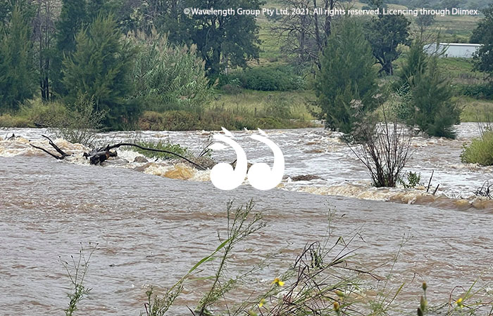
Pages River at Segenhoe. Photo: Cheryl Hunter.
Pages River:
Blandford: Recorded height of 1.931m (falling) at 1:45pm;
Gundy: Recorded height of 1.689m (falling) at 1:45pm;
Parkville: Recorded height of 1.34m (steady) at 1:45pm;
Wingen: Recorded height of 0.32m (steady) at 1:53pm;
Moonan Brook:
Moonan Brook: Recorded height of 1.105m (steady) at 2:00pm;
Hunter River:
Aberdeen: Recorded height of 3.93m (falling) at 1:45pm;
Belltrees: Recorded height of 1.55m (steady) at 1:45pm;
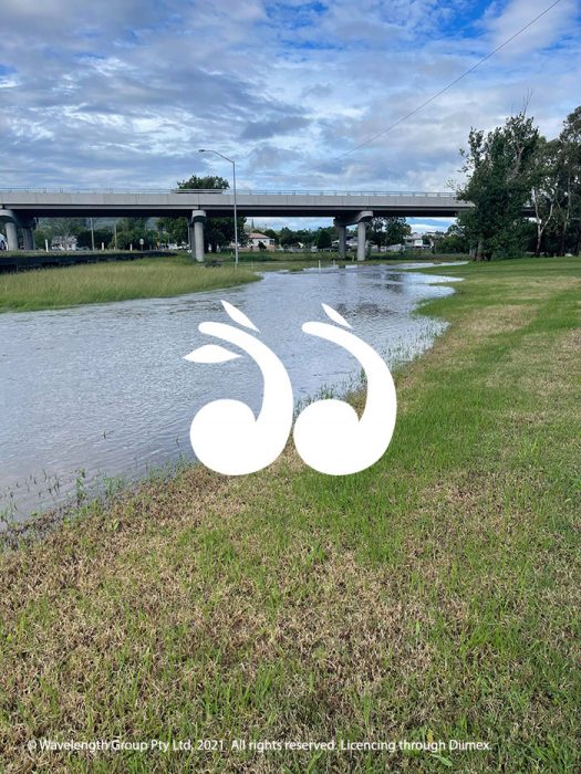
Liverpool Street, Scone Bypass. Photo: Cheryl Hunter.
Denman: Recorded height of 4.538m (steady) at 1:30pm;
Glenbawn Dam: Recorded height of 260.386m (rising) at 10:00am;
Moonan Dam: Recorded height of 1.833m (steady) at 2:00pm;
Muswellbrook: Recorded height of 4.505m (rising) at 1:45pm;
Rouchel Brook: Recorded height of 1.111m (steady) at 12:00pm;
Merriwa River:
Merriwa: Recorded height of 1.575m (steady) at 2:00pm;
Isis River:
Lower Timor: Recorded height of 1.26m (steady) at 12:00pm.
Road closures
- Cressfield Road at Middlebrook Crossing and Dry Creek Causeway;
- Dartbrook Road at Sandy Creek Causeway;
- Wallington Road, Middlebrook;
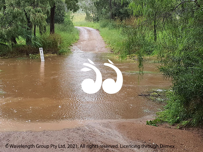
The Castle Rock Road Causeway. Photo: Kylie Giles
- Glenbawn Road at Pages River Crossing;
- Camerons Bridge heavy vehicle sidetrack on Rouchel Road;
- Timor/Crawney Road;
- Flags Road, Merriwa;
- Idaville Road, Merriwa;
- Pembroke Road, Merriwa;
- Cattle Creek Road, Merriwa;
- Llangollen Road, Merriwa;
- Willow Tree Road, Merriwa;
- Wollar Road, Merriwa;
- Green Creek Road, Murrurundi;
- Murulla Street Causeway, Murrurundi;
- Mount Street Causeway, Murrurundi.
Tags: Flooding, river levels, road closures, SES