Earthquake registered in Muswellbrook
AT approximately 8:41 pm Geoscience Australia registered a 3.6 magnitude earthquake near Muswellbrook.
The epicentre of the quake was on Thomas Mitchell Drive approximately 600metres north-east of the entrance to Mt Arthur coal mine.
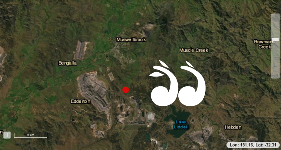
The epicentre was opposite the entrance to Mt Arthur coal mine.
More than 150 people have reported feeling the quake to Geoscience Australia, with many more entertaining accounts reported to local Facebook pages.
Dr Jonathan Bathgate, a seismologist with Geoscience Australia said the Msuwellbrook area tends to register one or more sizeable earthquakes each year, which is quite common in mining areas.
“Oftentimes there are mineral deposits along seismic fault lines, it is where fluids have travelled and then formed mineral deposits, essentially why the minerals are there is because there are naturally occurring fault lines; so often where there is mining, there are also more naturally occurring earthquakes,” said Dr Bathgate.
“This quake was 3.6 mangnitude at a relatively shallow depth of 10 kilometres; people may report hearing a rumbling sound, the walls may shake, shelves may rattle and the light fixtures may swing, but it is over quite quickly usually less than 10 seconds,” he said.
“It’s not that large for Muswellbrook, which does have larger quakes on a regular basis, there was a 3.9 in May last year, a 4.4 in December 2019 and also a 3.8 in December,” he said.
“There have been 14 since 2013 of a magnitude 3 or more, so often more than one a year,” he said.
Geoscience Australia encourages people to report earthquakes to their website, find the location and click on I felt this!
Tags: Earthquake, Muswellbrook